Sentinel-2 cloudless: original tiles available
The original GeoTIFF files used to create the Sentinel-2 cloudless (opens new window) layer are now available on an AWS S3 bucket. The bucket uses the "requester pays" setting which means you need to access it using your AWS credentials.
Bucket ID: eox-s2maps Region: eu-central-1
# Structure
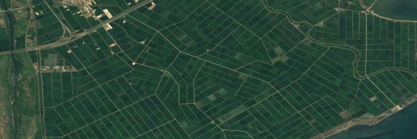
Tiles are stored as GeoTIFFs containing three 8 bits bands (red, green, blue) each in a non-projected geographic coordinate system (WGS84, EPSG 4326). Compression used is LZW (lossless), tile shape is 512x512 pixels.
Tiles are structured in a tile pyramid scheme based on the WMTS-simple profile (opens new window) defined by the OGC.
To optimize tile numbers, they are combined into 2x2 bigger tiles (metatiles), hence the usual WMTS tile indices (zoom, column, row) don't apply exactly. To identify the correct tiles per zoom level, one must use the columns and row identifier from the zoom level above (z-1).
This means, URLs to the tiles are following the schema: s3://eox-s2maps/tiles/{zoom}/{column}/{row}.tif
Zoom levels available are 7 to 13, where 13 best resembles the original resolution (10 m).
# License
Sentinel-2 cloudless by EOX IT Services GmbH is licensed under a Creative Commons Attribution-ShareAlike 4.0 International License (opens new window).
The attribution shall read "Sentinel-2 cloudless (opens new window) by EOX IT Services GmbH (opens new window) (Contains modified Copernicus Sentinel data 2016)" and include the links as shown here where possible.